Geotrail
Rock your half term with a self-guided geotrail adventure! From rugged cliffs, sweeping beaches and ancient granite, there's a whole world to discover - perfect for curious minds of all ages.
Self-guided geotrail
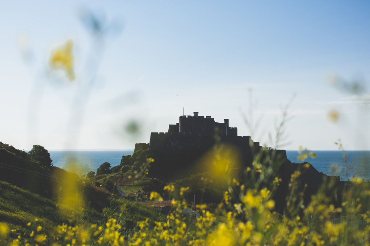
Discover the geodiversity of Jersey – our different rocks, minerals, soils and landforms like our headlands, caves, stacks, islets, wave-cut platforms, valleys, streams, ponds and cliffs.
If you’re looking for a fun and educational half-term adventure then look no further.
How to take part
Step 1) Using the clues, work out ten locations around the Island. We recommend using a map to help solve the clues.
Step 2) At each location, try answering the questions by looking for clues in the landscape. There may be signs, commemorative plaques or you can always find out more online (see top tips).
Step 3) Fill in form below with your answers.
Step 4) Check your answers here.
Step 5) You can share your experience of the geotrail by sending in photos of you exploring Jersey to [email protected]
Top tips
Always follow the Jersey countryside code – Respect, Protect and Enjoy.
Plan your route before you set out, especially if you try to explore everywhere in one day. Most places are directly along a bus or cycle route apart from:
- Place 4 >> closest bus stop is number 2379: The Poplars and cycle route 1.
- Place 10 >> closest bus stop is number 2738: Grosnez House and cycle route 1b.
Try using the Jersey Historic Environment Record (HER) – a searchable map of the historic features across the Island.
Find out more at the FREE aspiring Jersey Island Geopark Visitor Centre located at Jersey Museum, St Helier.
Please read our privacy policy if you are sending in photos.
“Ayiz eune bouonne vîsite” as we say in Jèrriais. Have a good visit!
Geotrail
"*" indicates required fields
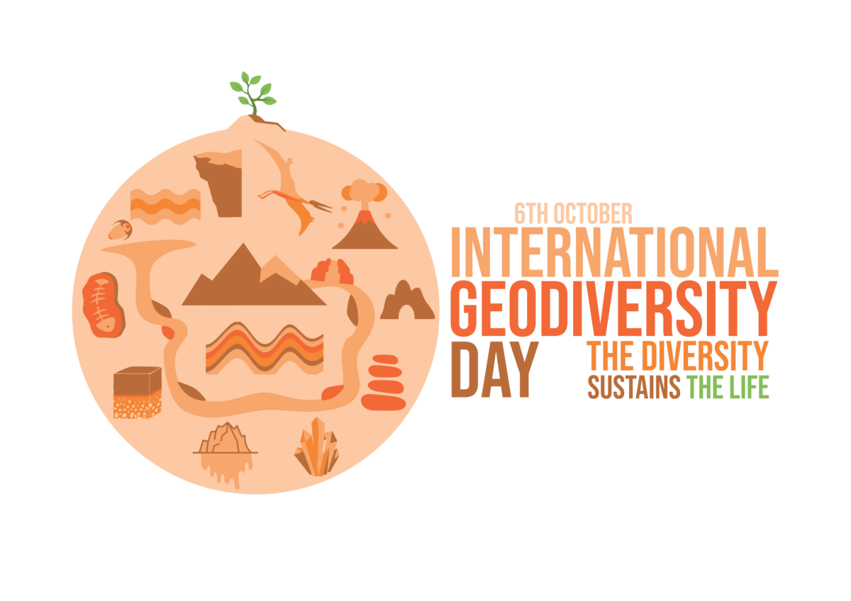
International Geodiversity Day
https://www.unesco.org/en/days/geodiversity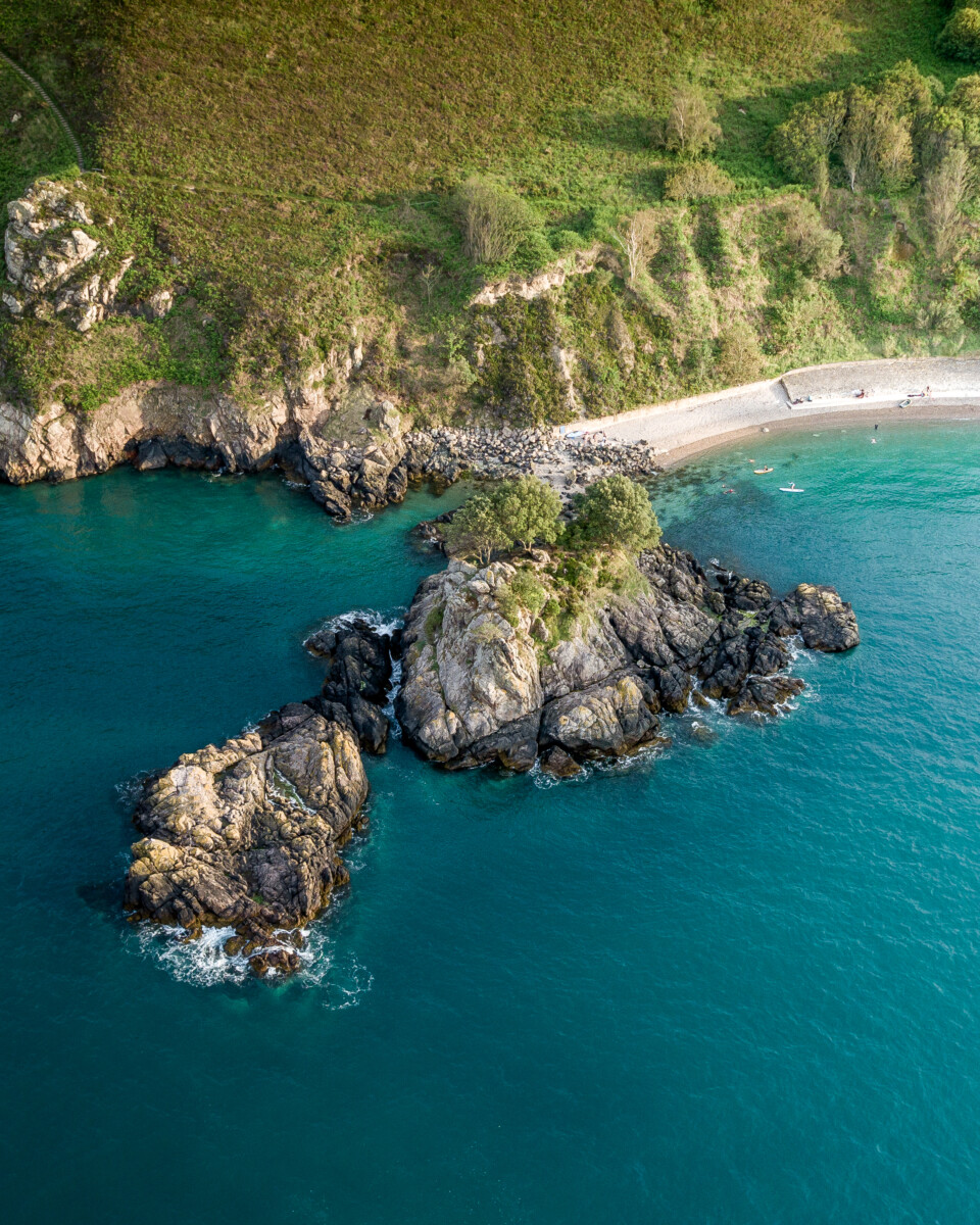
L'islet